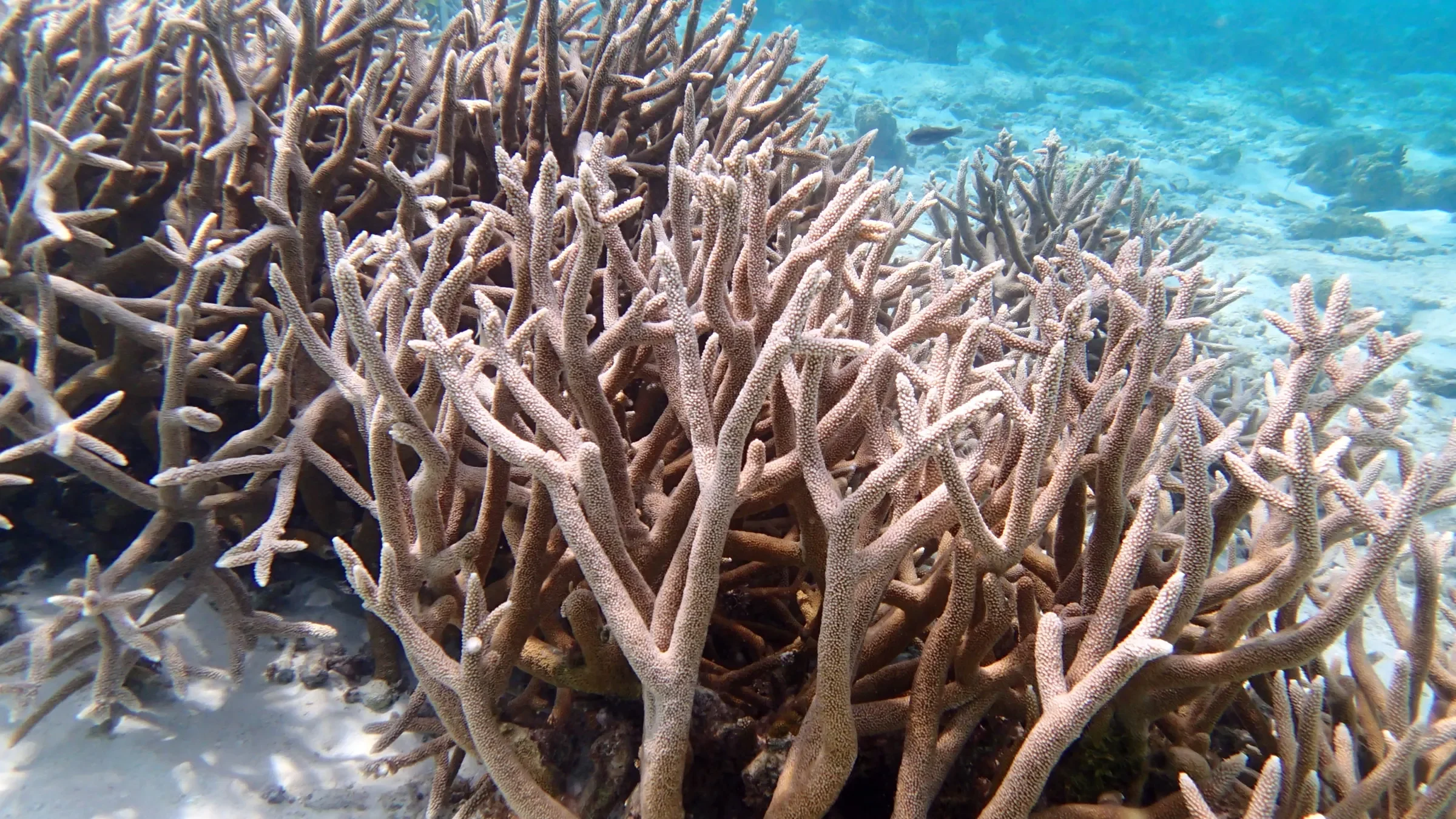
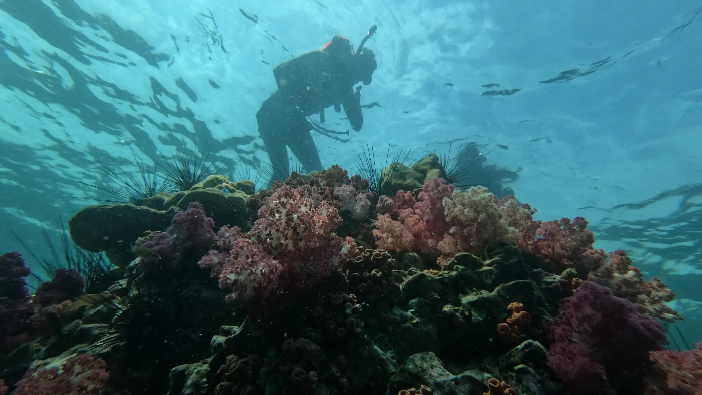
At first, our planting sites lived in notebooks and in the divers' memory. That worked while the team fit in one boat. As soon as volunteers arrived, we needed a shared map.
One site, one name, one position
Every site gets a simple name that anyone can say on deck, and a position taken at the surface. Depth and the type of seabed complete its page.
One map, two readers
Divers see the sites to visit and the state of the last dive. Donors see where their corals were planted. It is the same map, read two ways.
Updated from the boat
Divers enter their readings as soon as they surface, from a phone. The map updates right away, and the sponsors concerned get the news the same day.